1 – the representation of the surface of the Earth’s natural for the project on the program (contour map – budget retina – Google Earth)
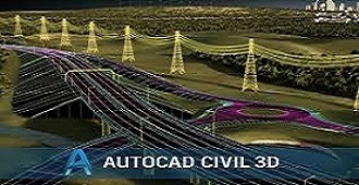
2 – Action plan for transport networks, the design and selection of tracks for roads.
3 – define the path the way for the program ((Alignment and sector work Rassi Profile)).
4 – Design Engineering design path of the road and how to bring out the plates design.
5 – Structural Design and how to draw the construction sector and its definition on the track design for the road.
6 – work incidental sectors of the track and take out her paintings.
7 – account Alhvrwalrdm quantities and amounts of construction materials and the comparison between Almsart suggested.